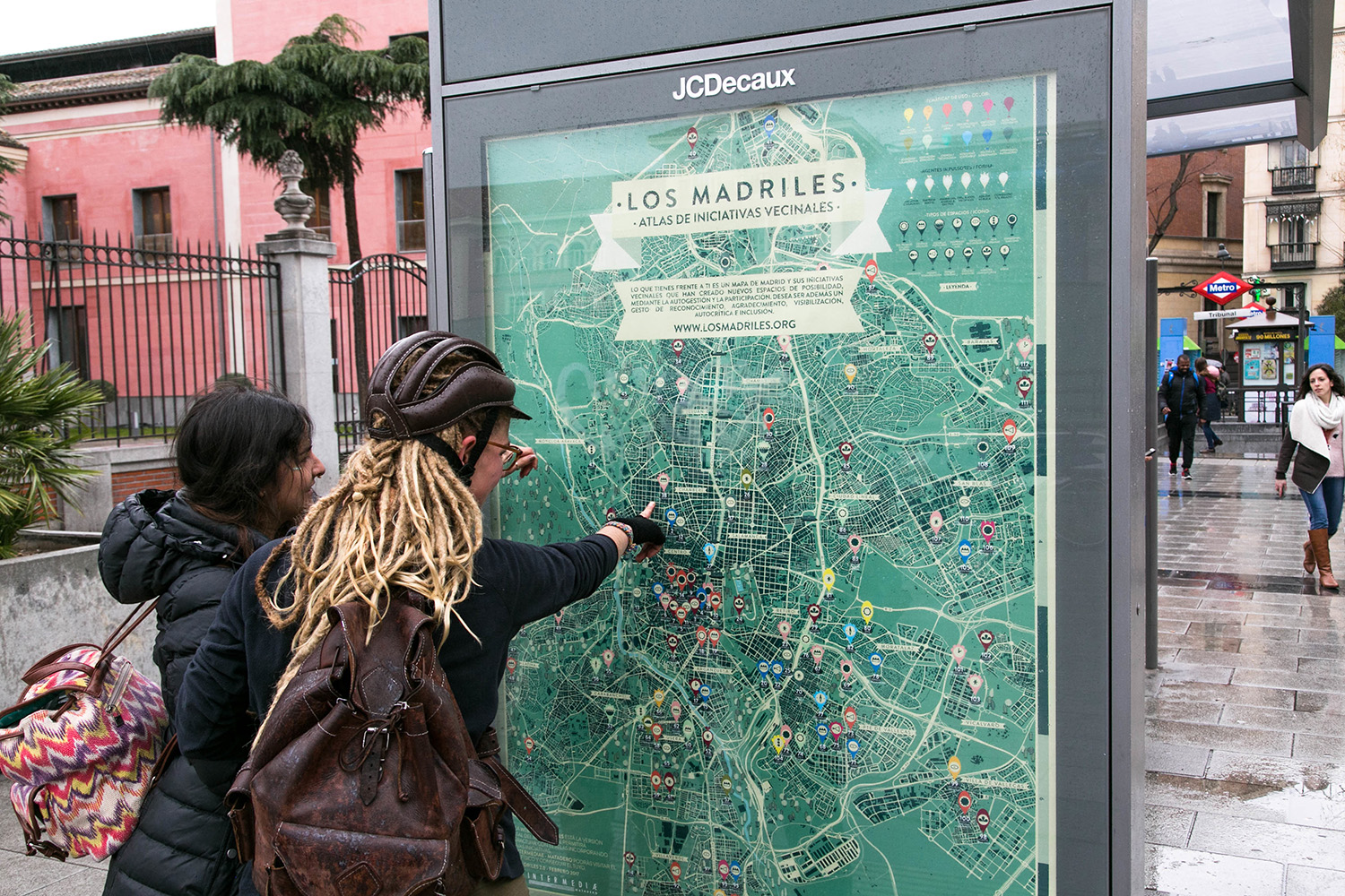
Locating many different Madrids on the map
Los Madriles is a living atlas that evolves to show an effervescent but invisible city, a cartography that tries to value the power of a critical and active citizenship that makes possible another way of making a city through open governance and participation.
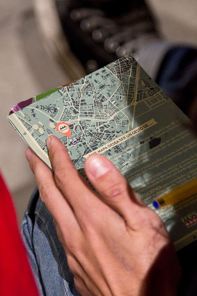
Los Madriles wishes to be a gesture of:
RECOGNITION
to all the neighbors of Madrid who in one way or another have participated in any initiative to improve their neighborhood in the past or at present.
GRATEFULNESS
to all the people involved in the mapped initiatives, for their attention and availability, as well as for their valuable contribution to the collective production of the city.
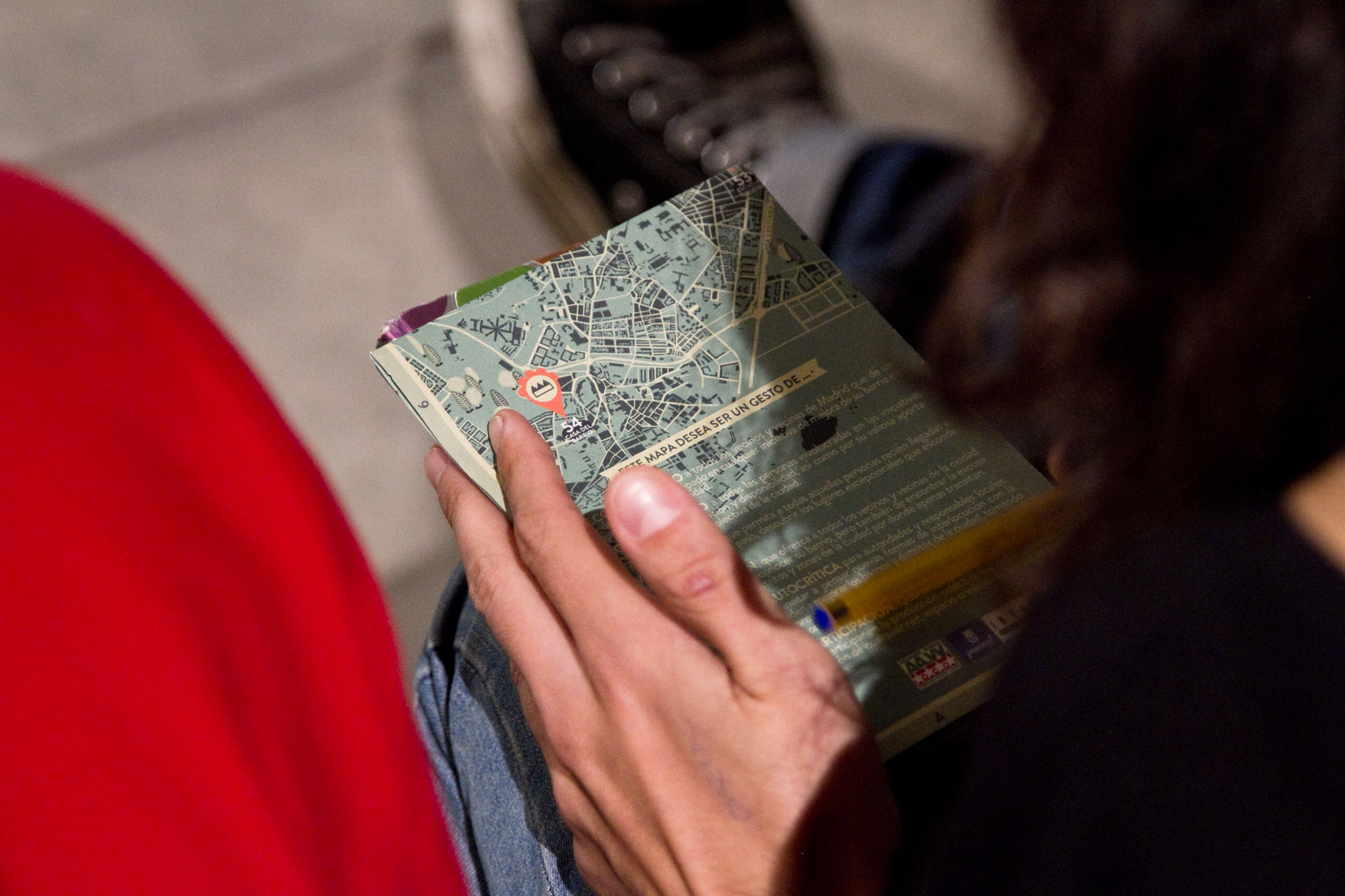
VISIBILITY
which allows all those people who have recently arrived in the city or people passing through, to discover the exceptional places hidden in Madrid.
COMMUNICATION
which offers all the city’s neighbors the opportunity to recognize their neighborhood, but also to find the excuse to visit other districts and areas of the city where they hardly pass through.
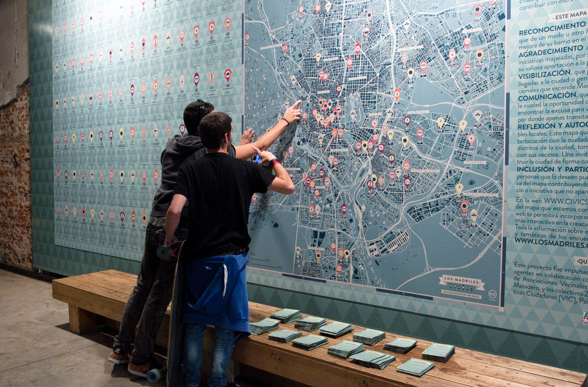
REFLECTION AND SELF-CRITICISM
inviting to think about new ways of dialogue with citizens that help to improve the city’s neighborhoods and districts, making decisions together with their neighbors. An invitation to think together how to build the city in a collective and participative way.
INCLUSION AND PARTICIPATION
for everyone who wishes to participate in the collective production of the map by contributing with the inclusion of any network, space or initiative that does not appear in this first map.
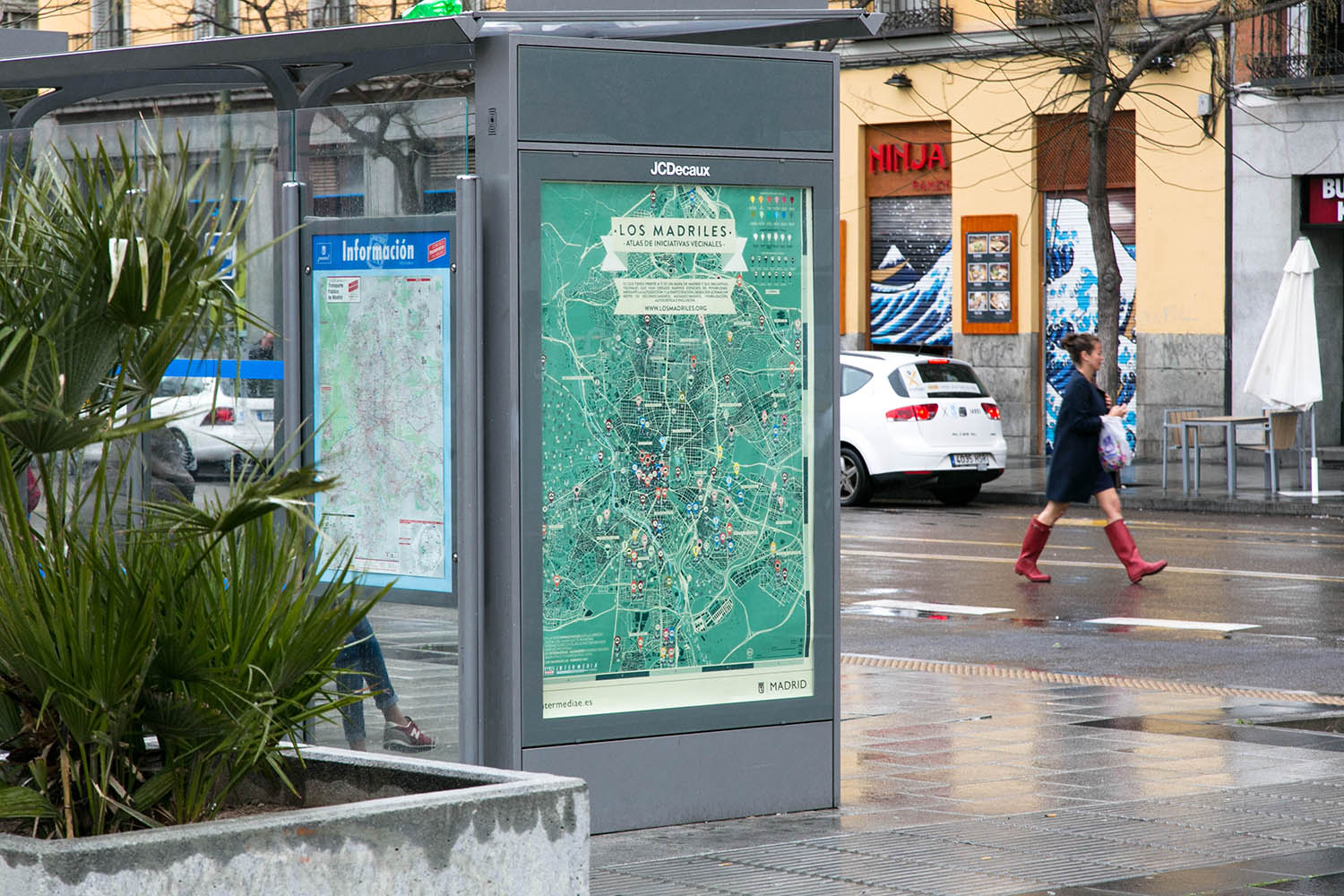
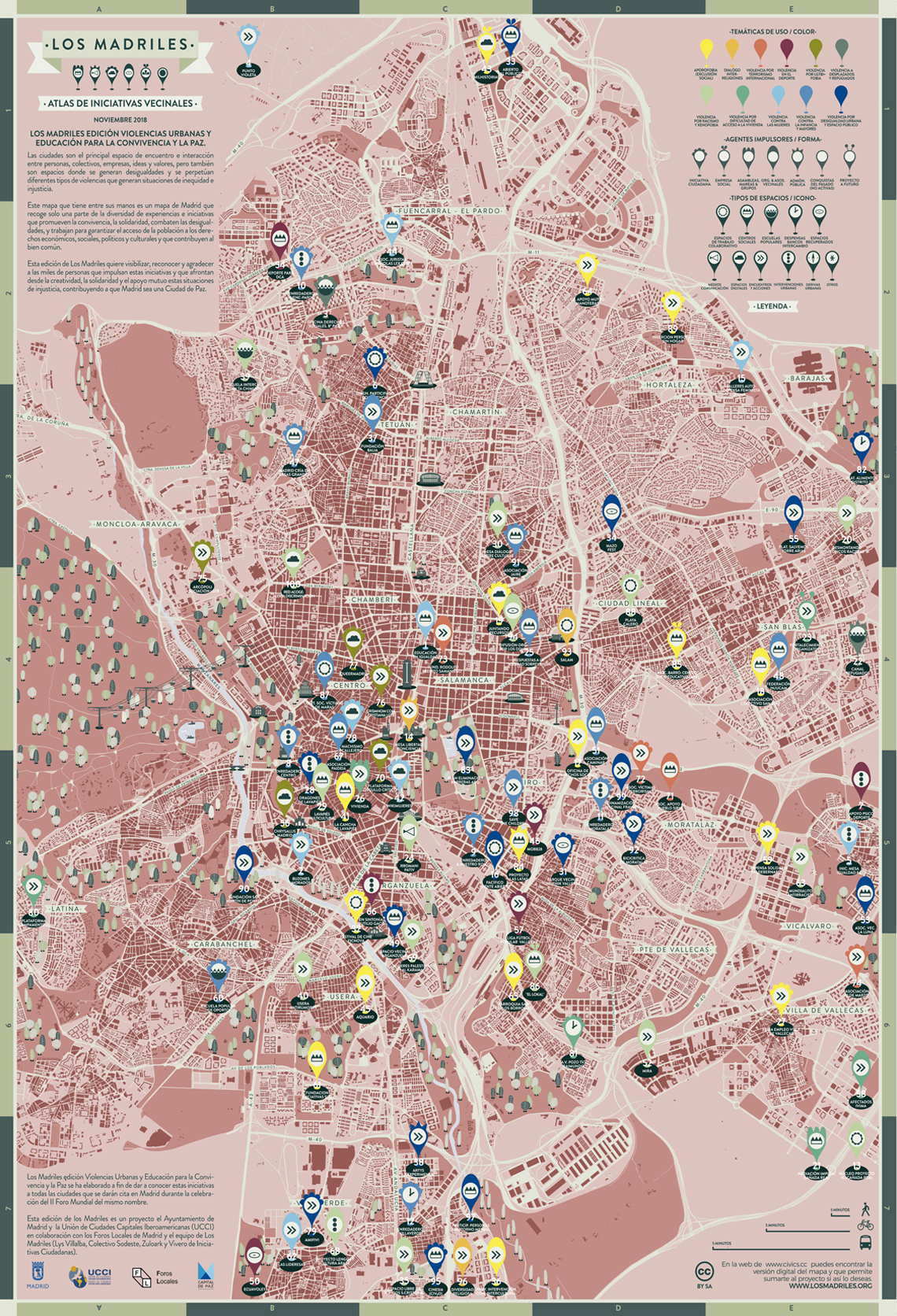
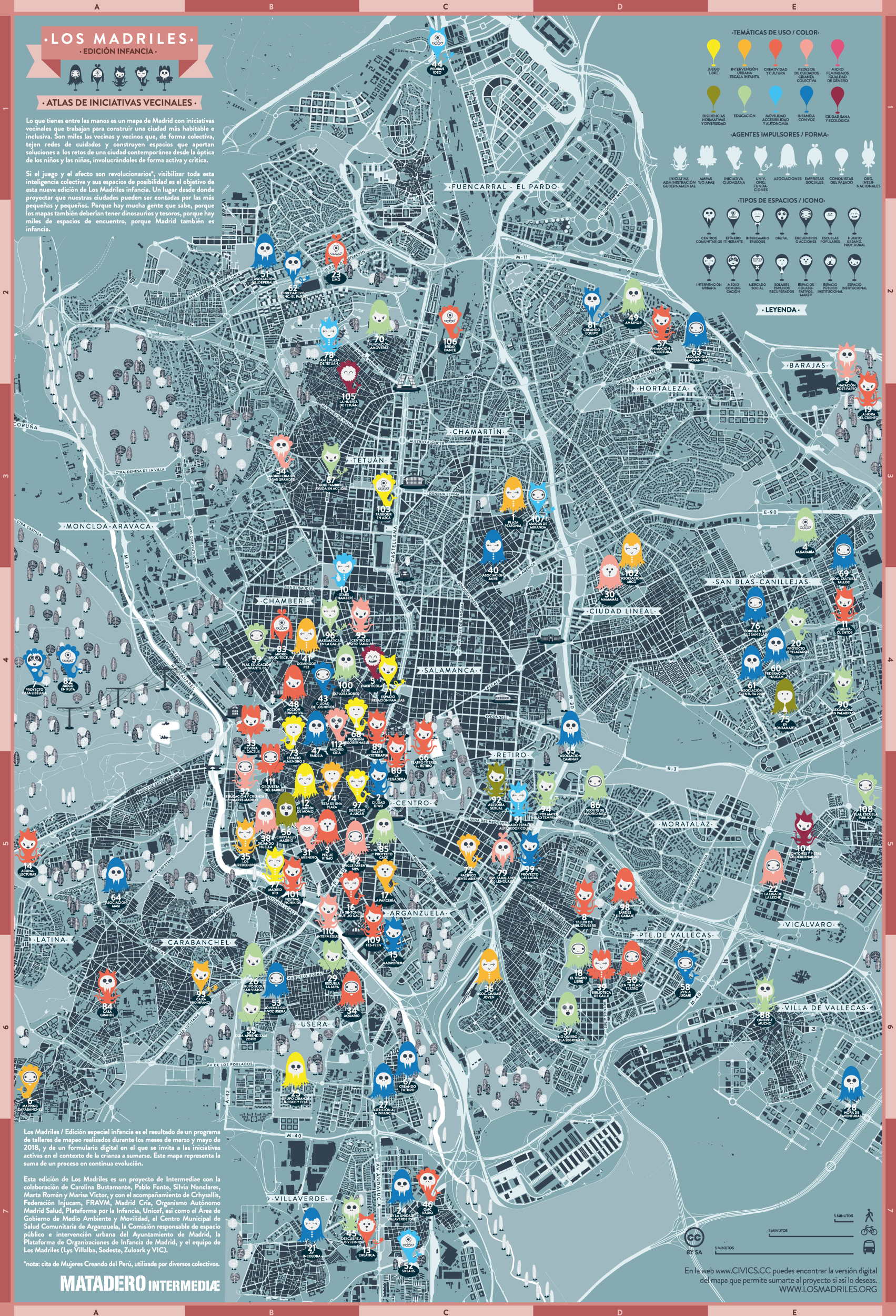
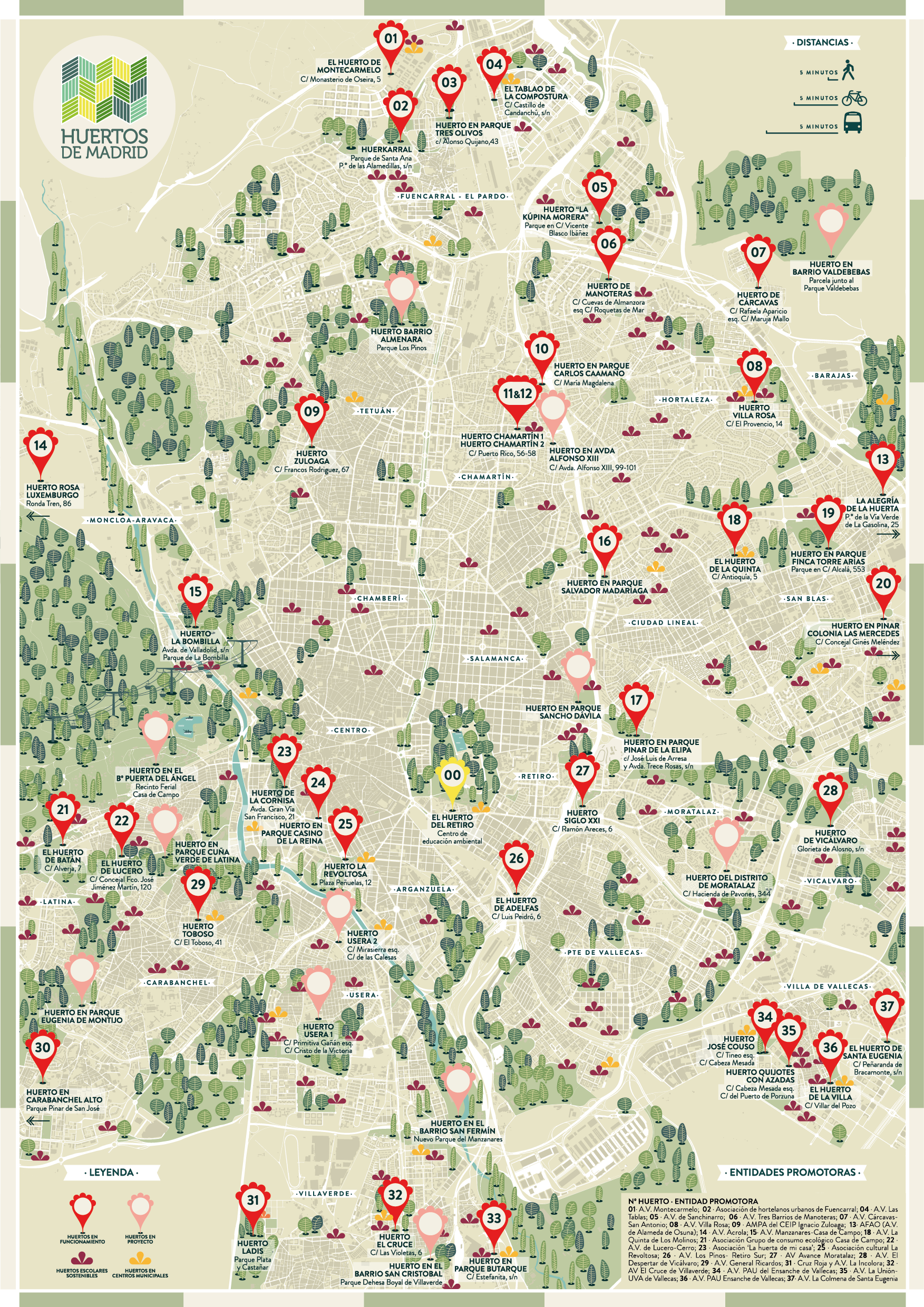
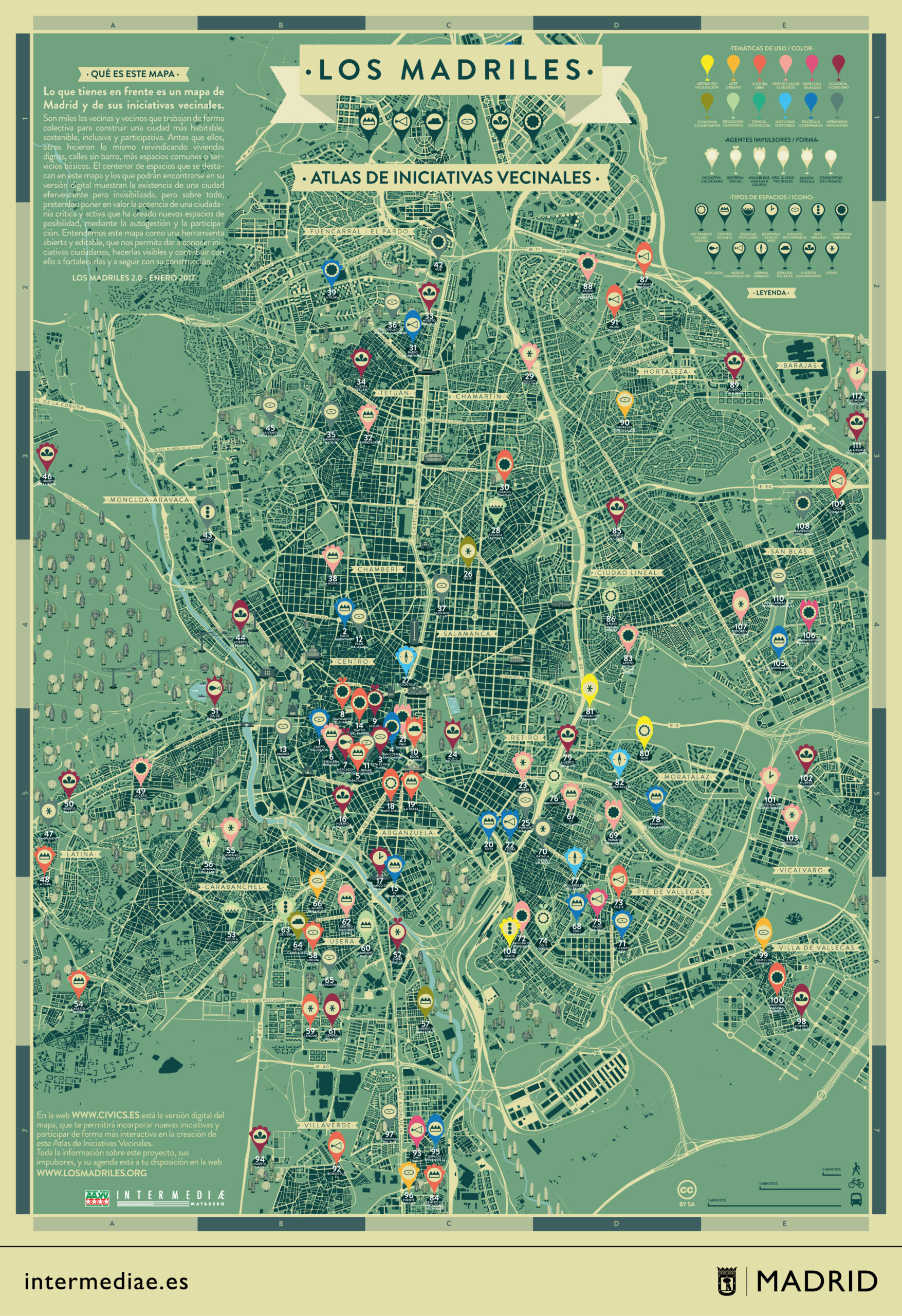
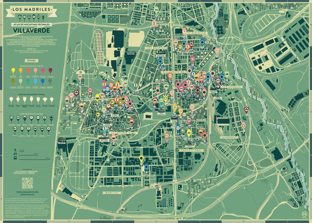
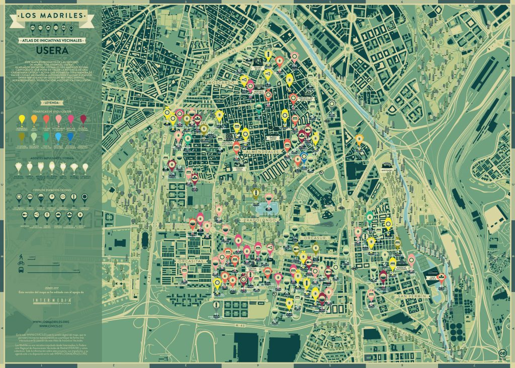
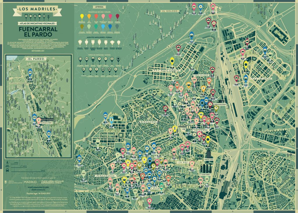
You can download your map of Los Madriles in this link. Here are some of the versions made:
